Day 11 of the Coast to Coast Walk: Ingleby Cross to Blakey Ridge

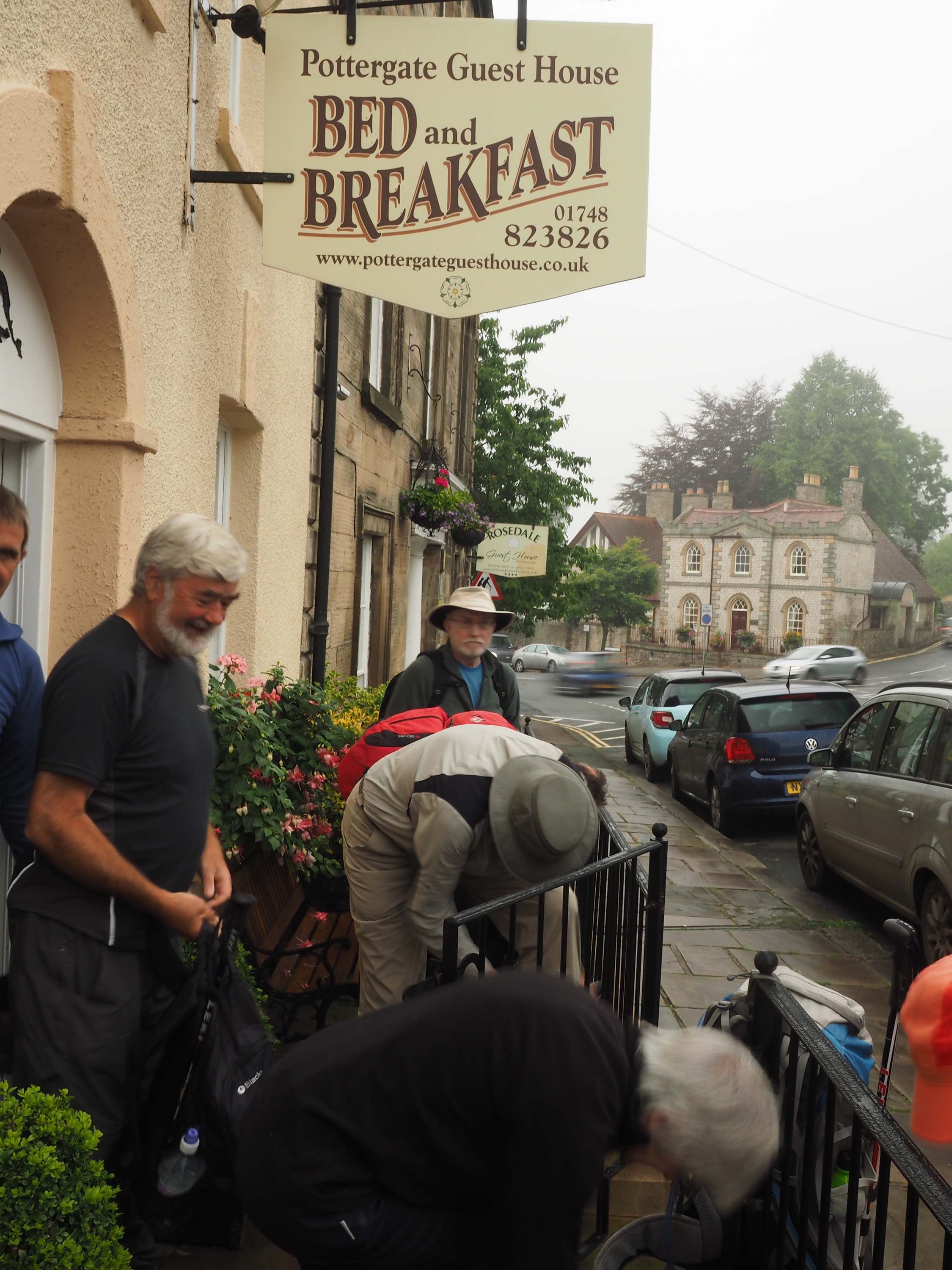
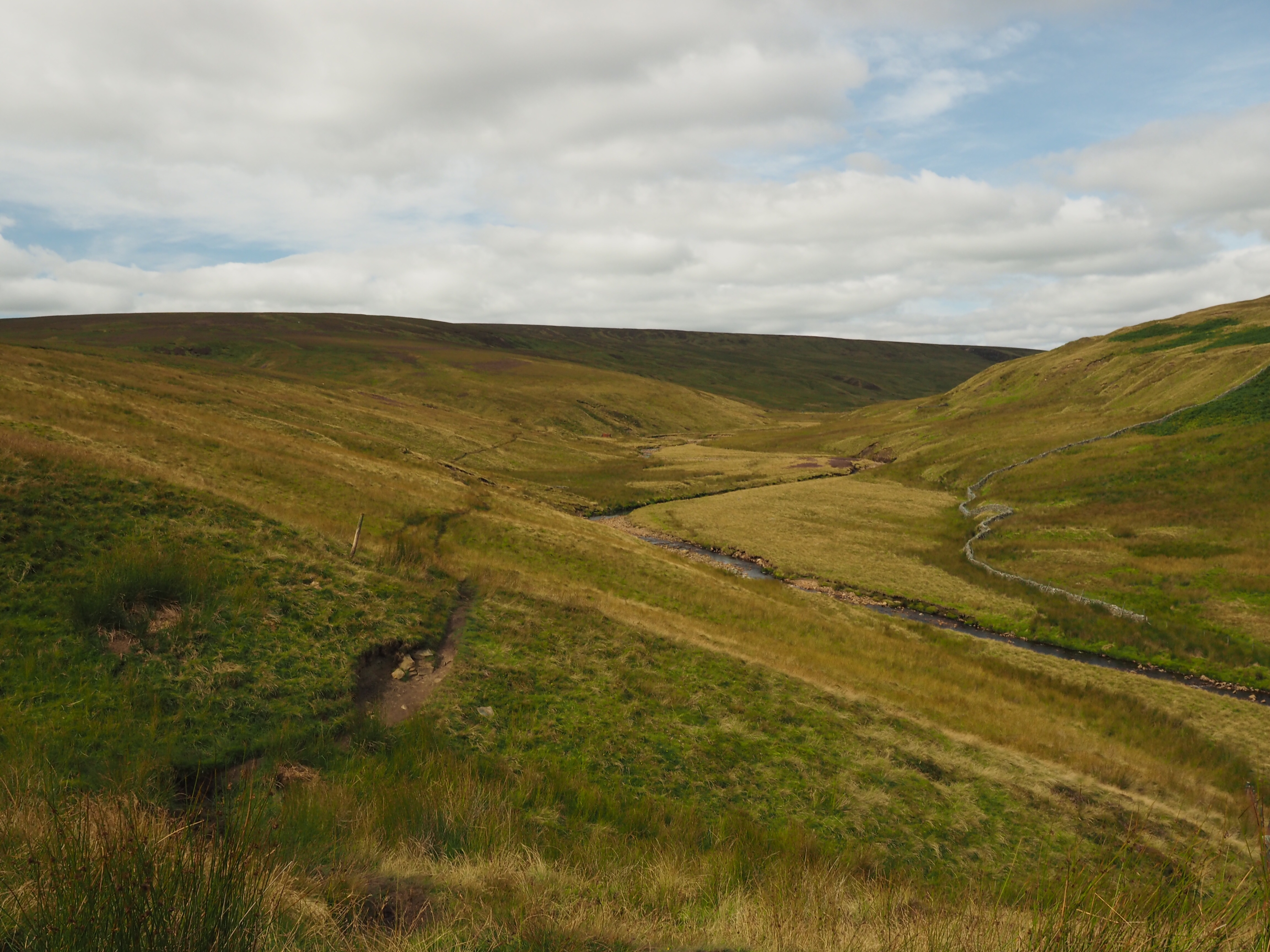
The biggest day: 20 miles rated as strenuous.  Early start from our B&B Park House.  First up, a climb through a wood to the Cleveland Way and up to Becon Hill, the first of five moors (aka hills) we walked around or over that day.

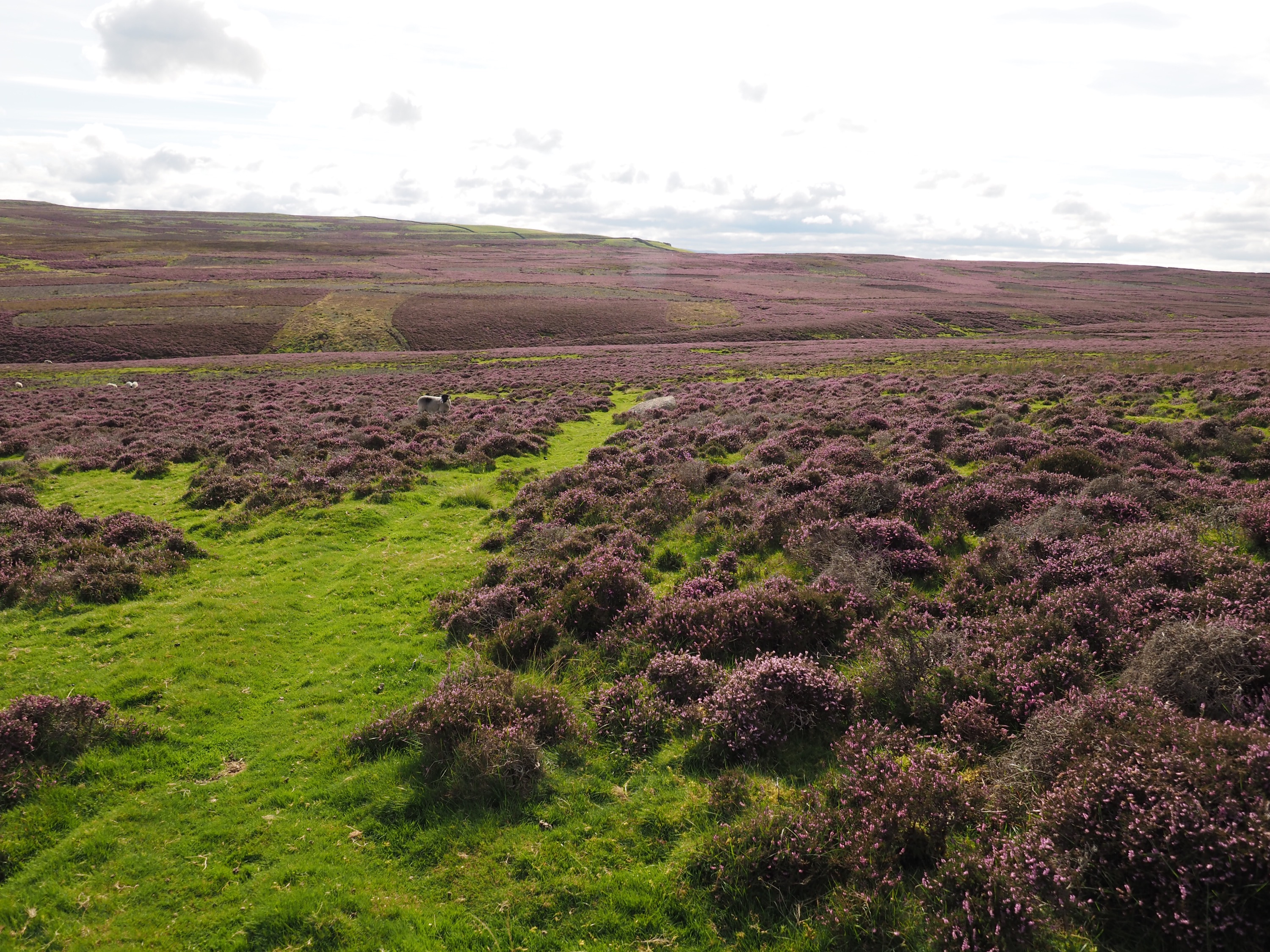
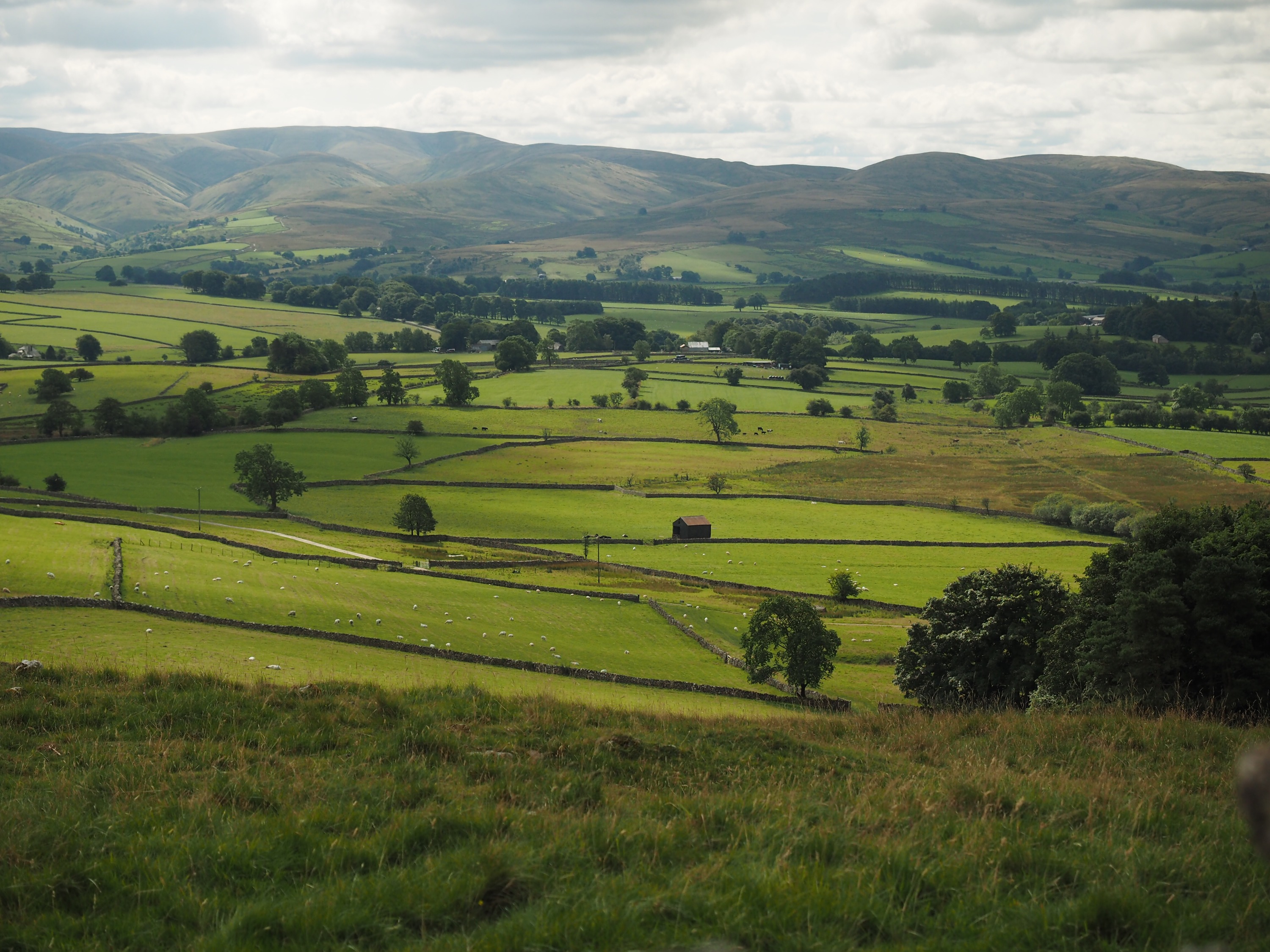
Then it was up and over Carlton Moor – steep walk with views back over the Vale of Mowbray – all those fields we crossed the previous day!  

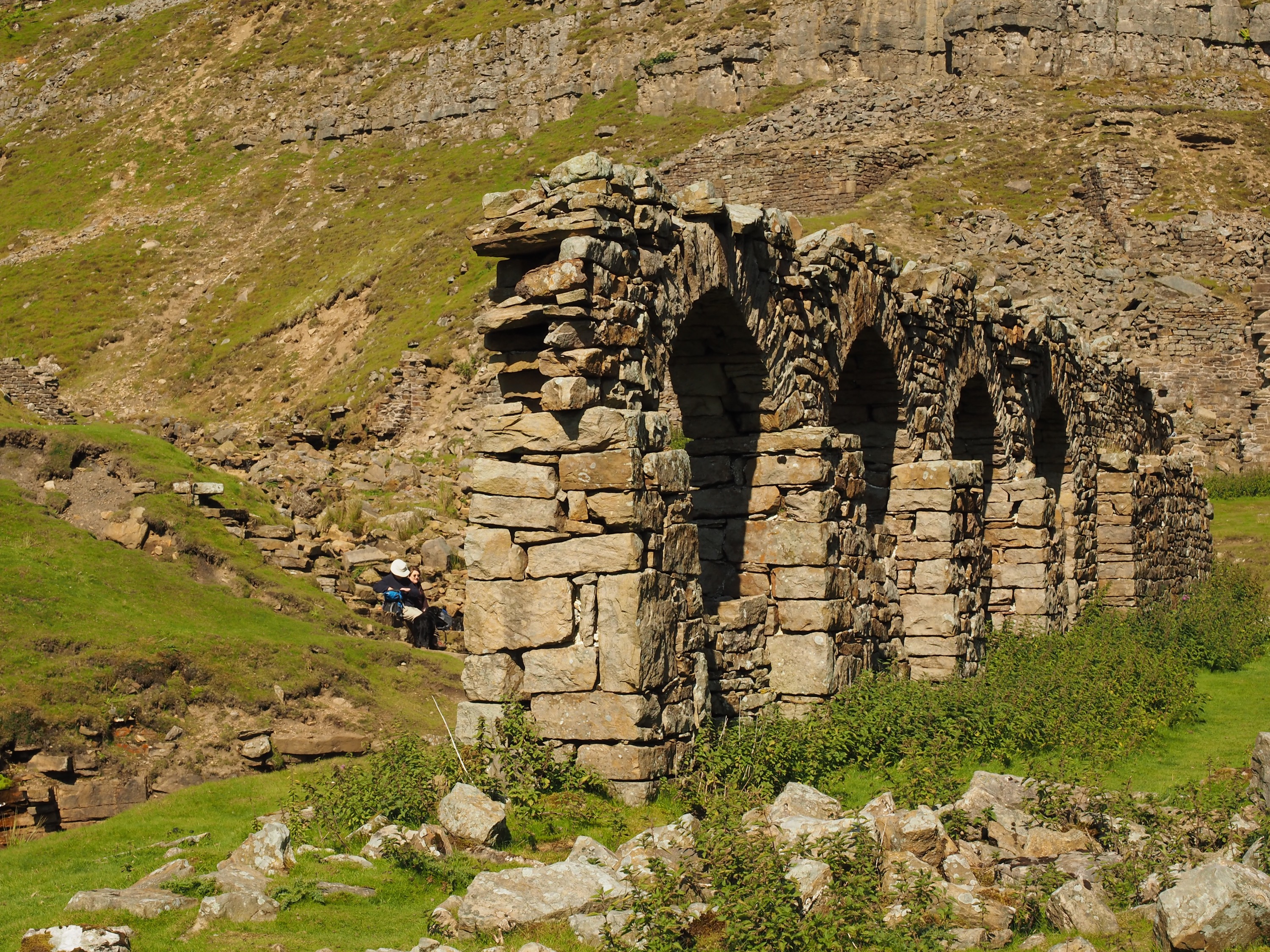
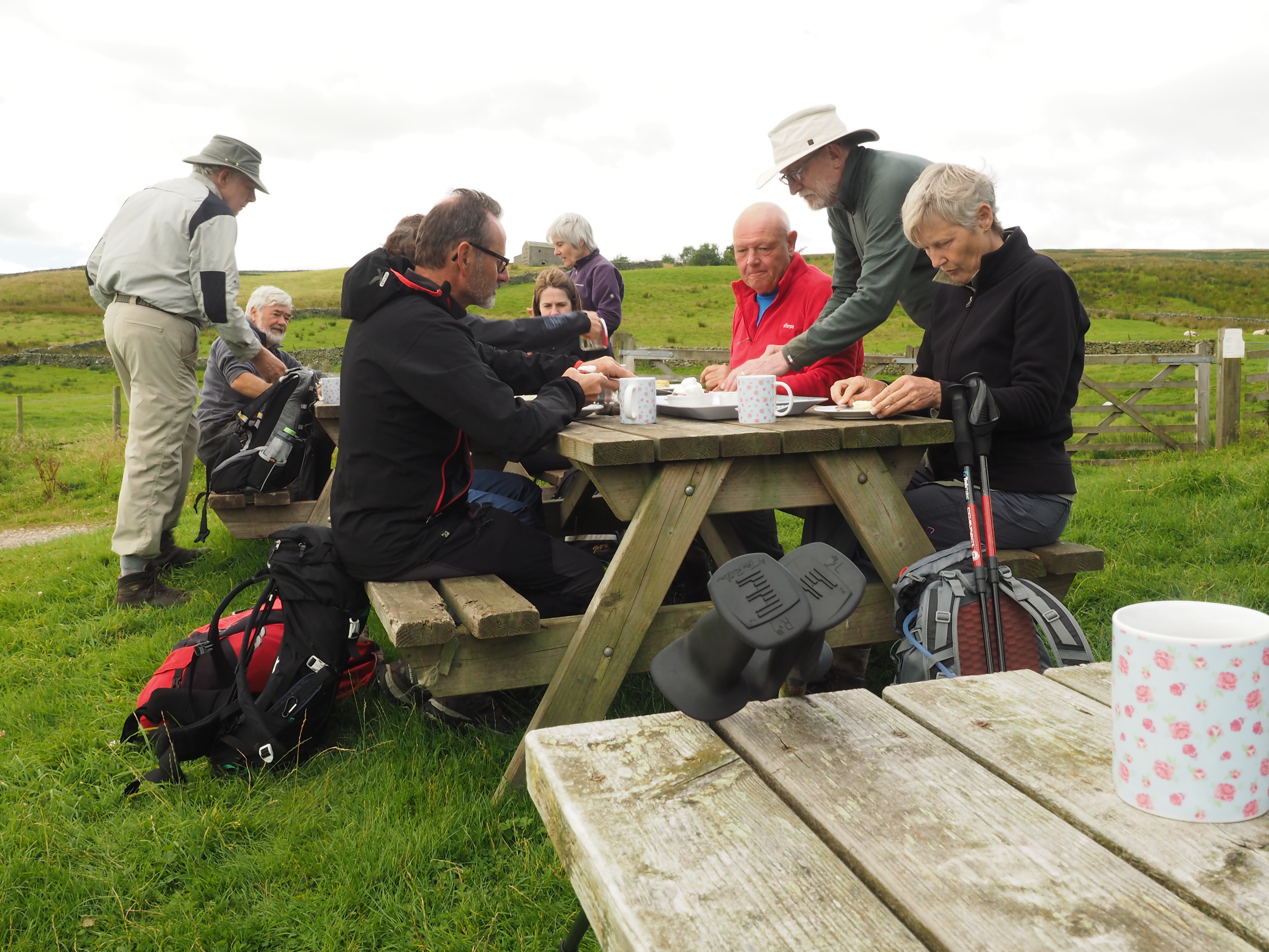
At moor number three we had a choice – up and over or around – and we chose to go around the next three.  After that, a break for lunch, and the up ANOTHER moor to Carr Ridge and a gradual rise from there to our highest point.  Then it was down to a windy former railway level crossing (Bloworth Crossing) for the old iron ore railway on the moors.  

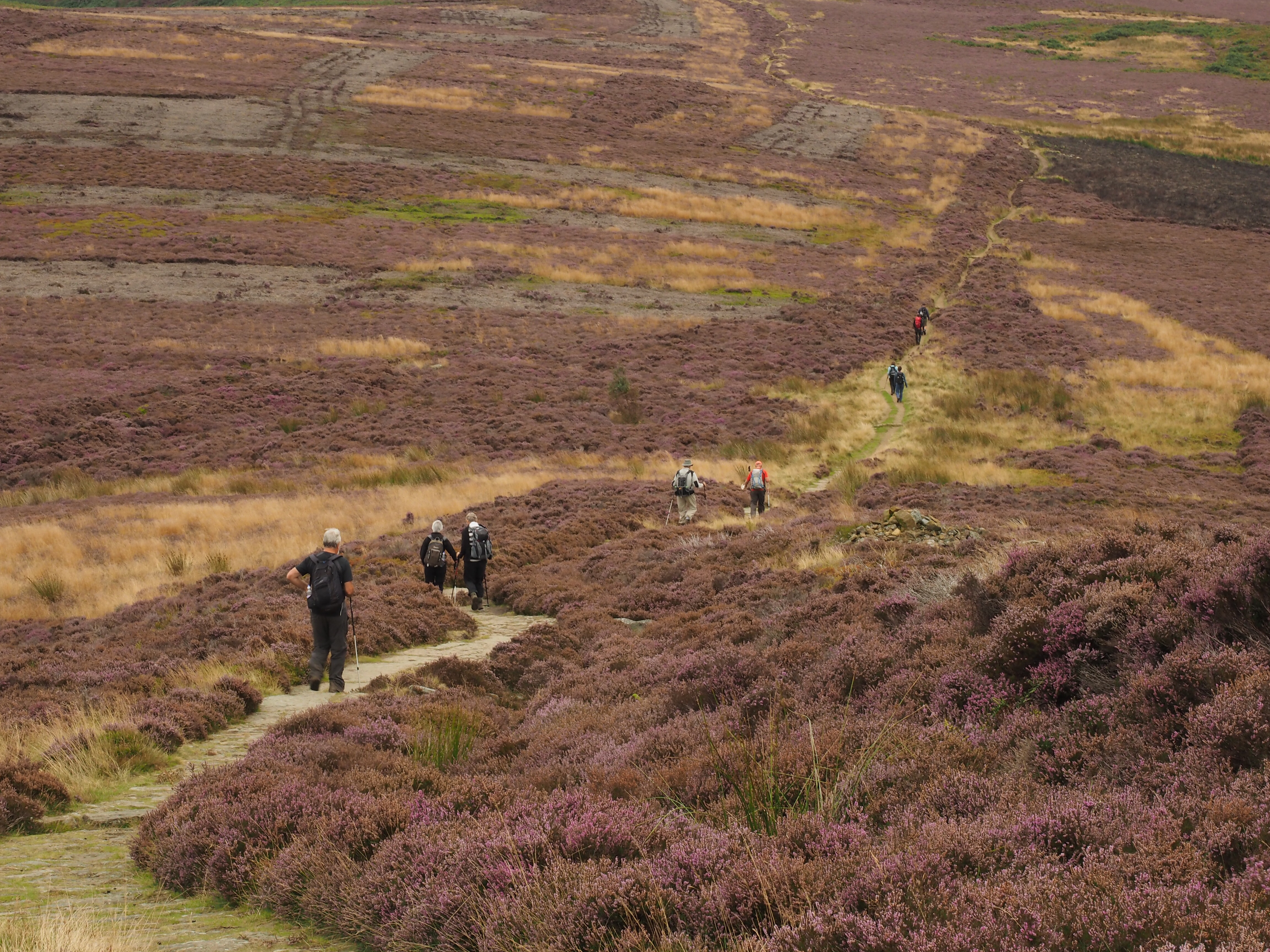
At this point it was still 5 miles to the Lion Inn on Blakey Ridge, our stop for the night. So from there it was a 2 hour slog across the old railway bed into the wind to get to the Lion Inn.  Cruelly, when you get there, you can’t see it, and the pathway goes up, seemingly to nowhere!

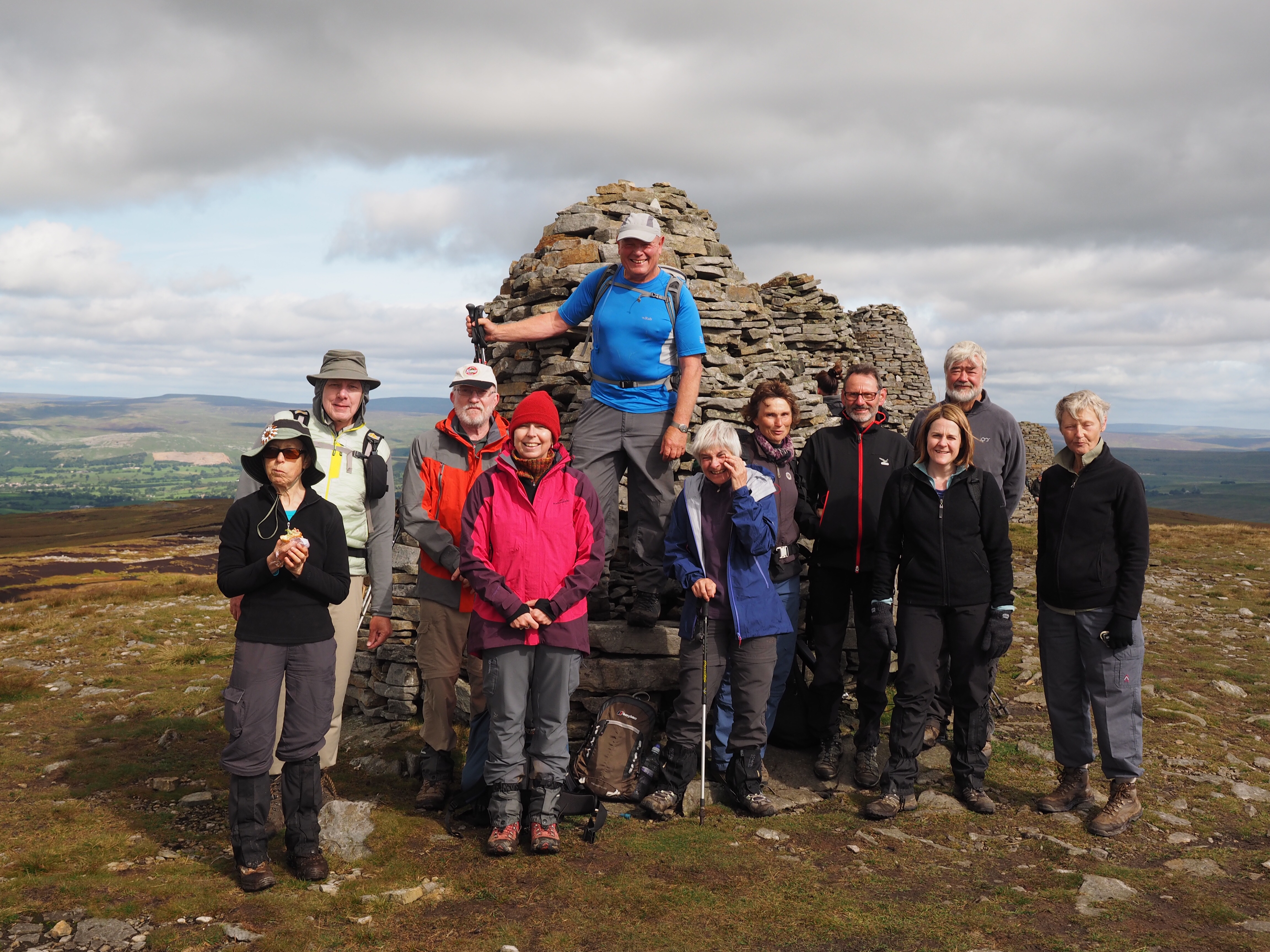
But we made it.  It was a very quiet group for dinner.  But the end of the walk is so close by then you can taste it!
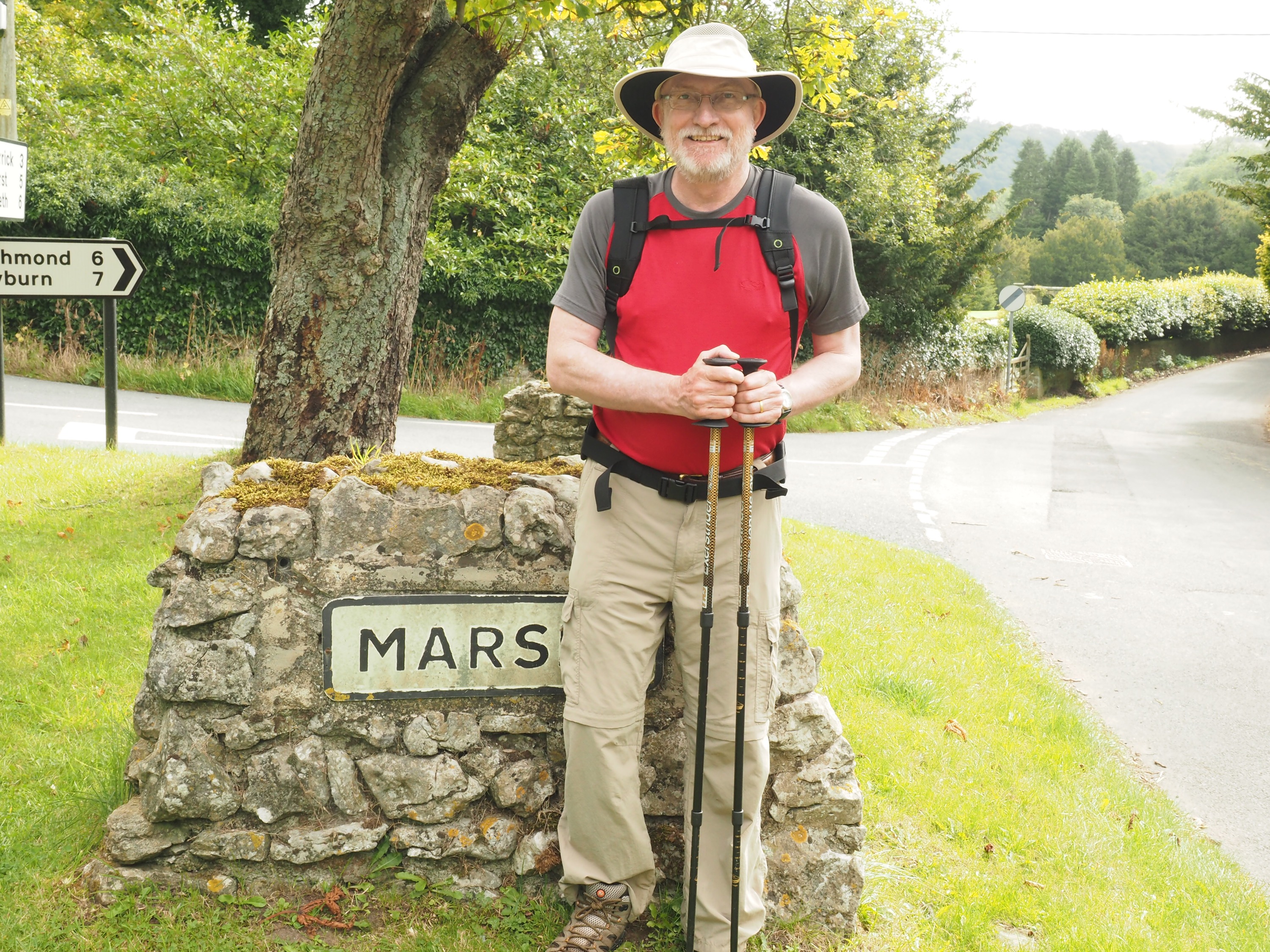
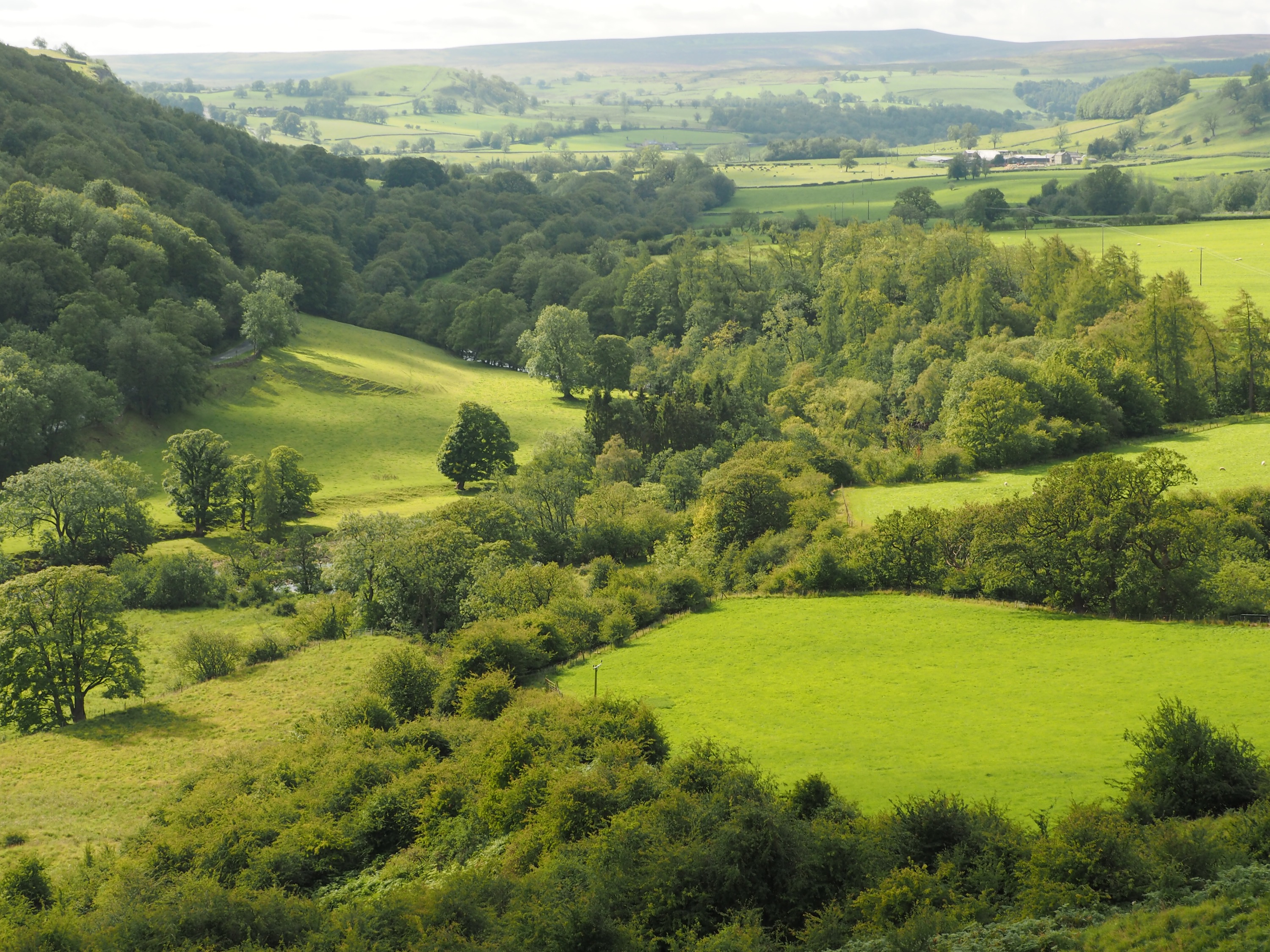
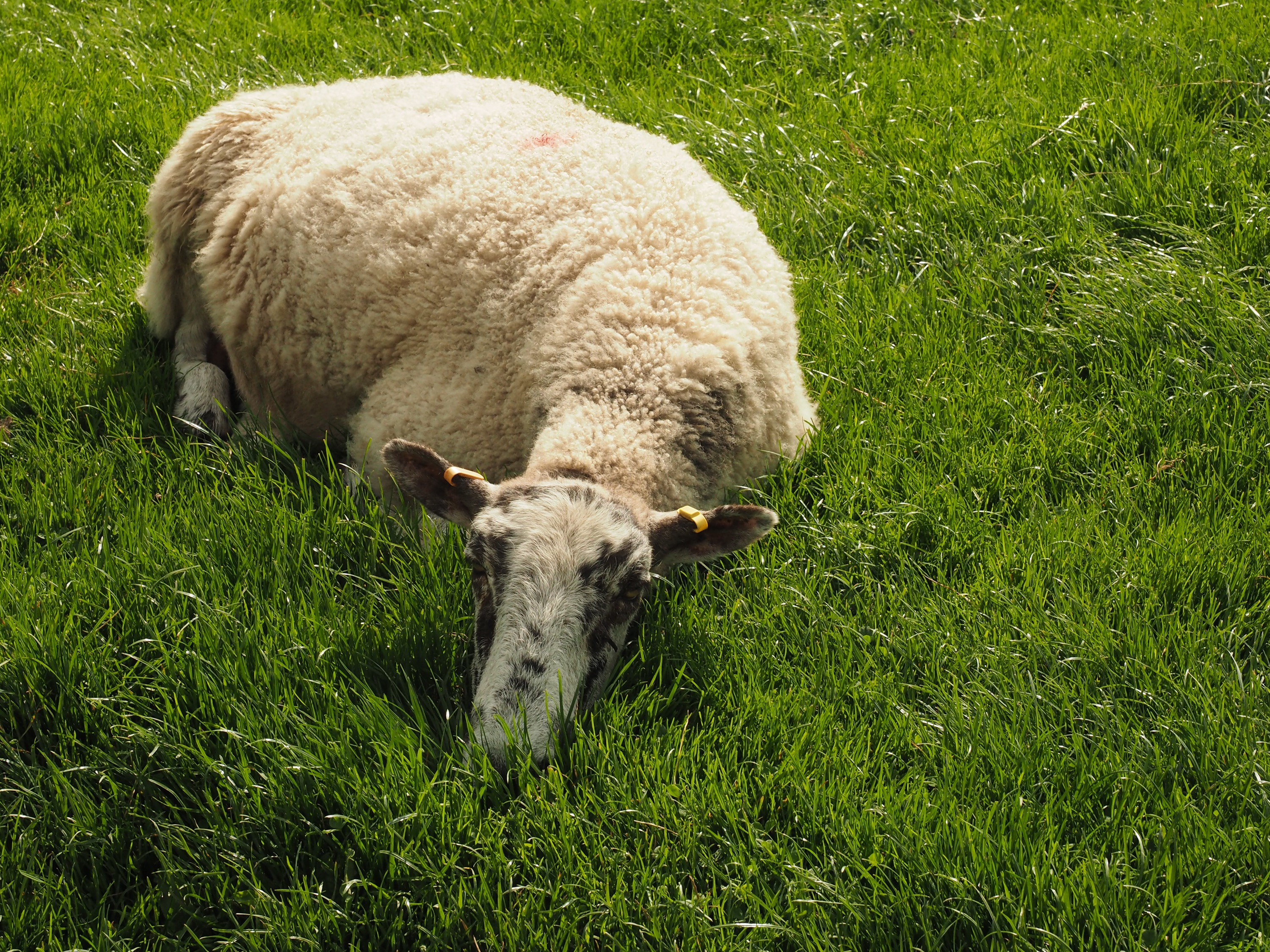
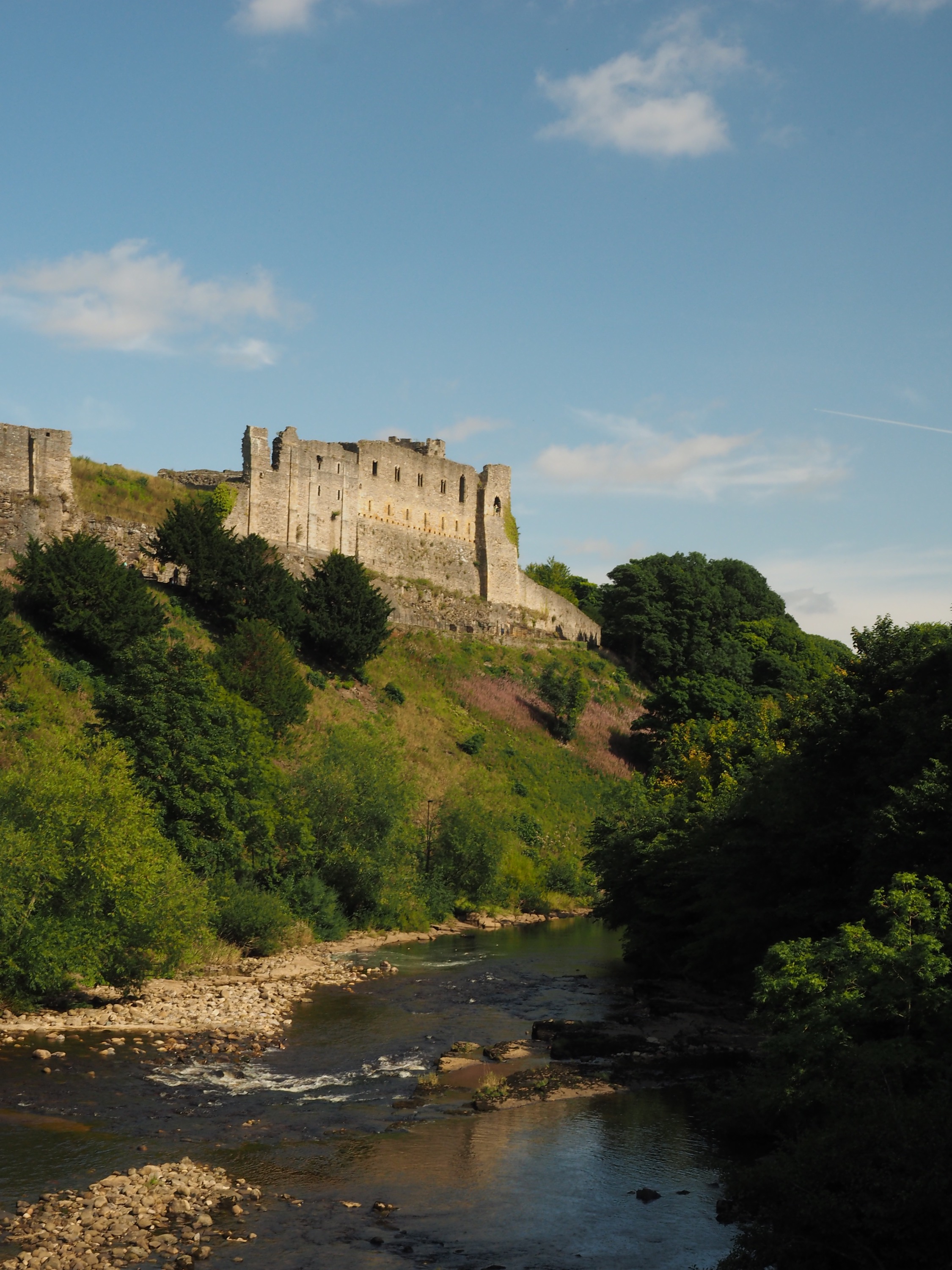
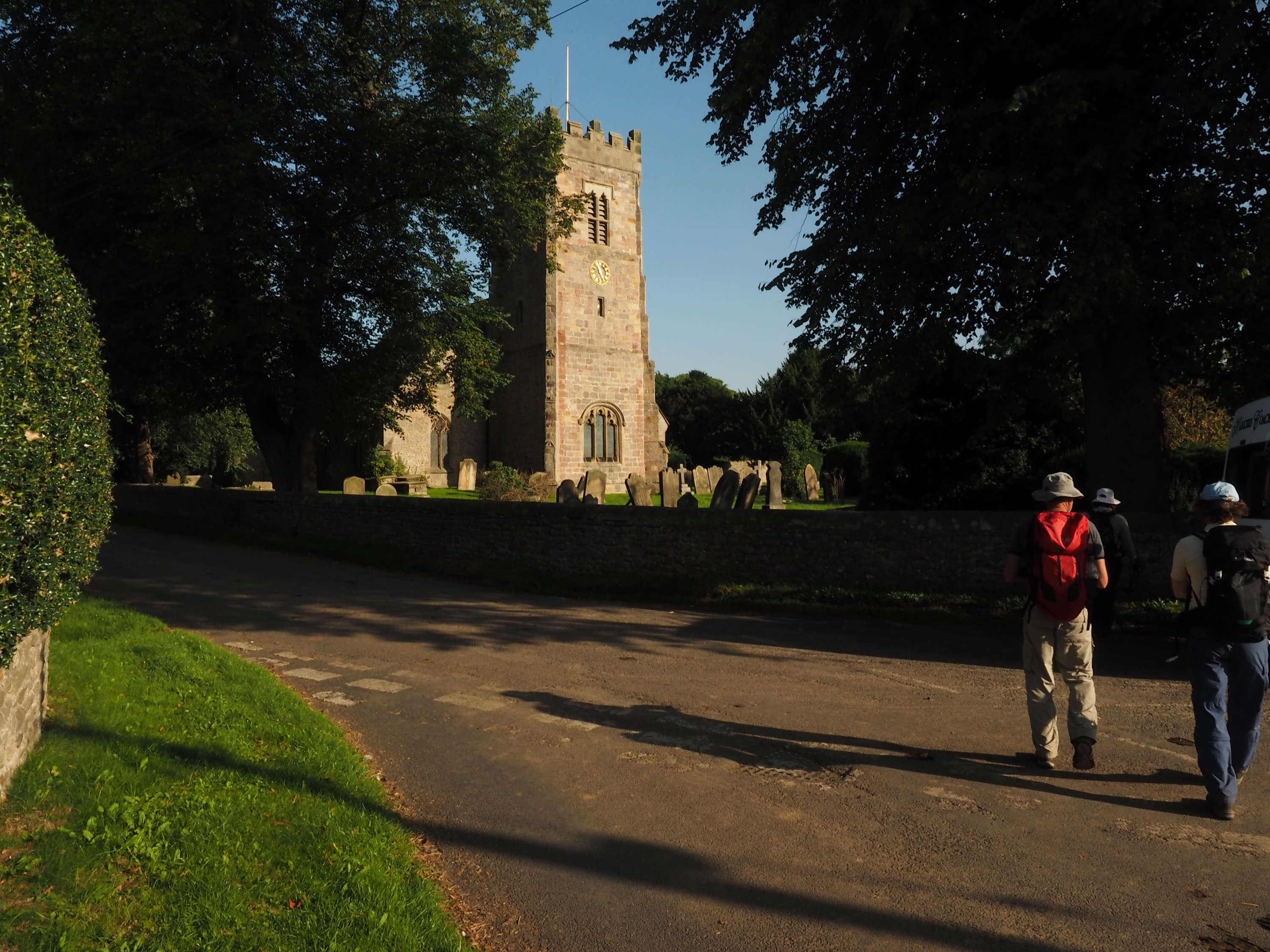
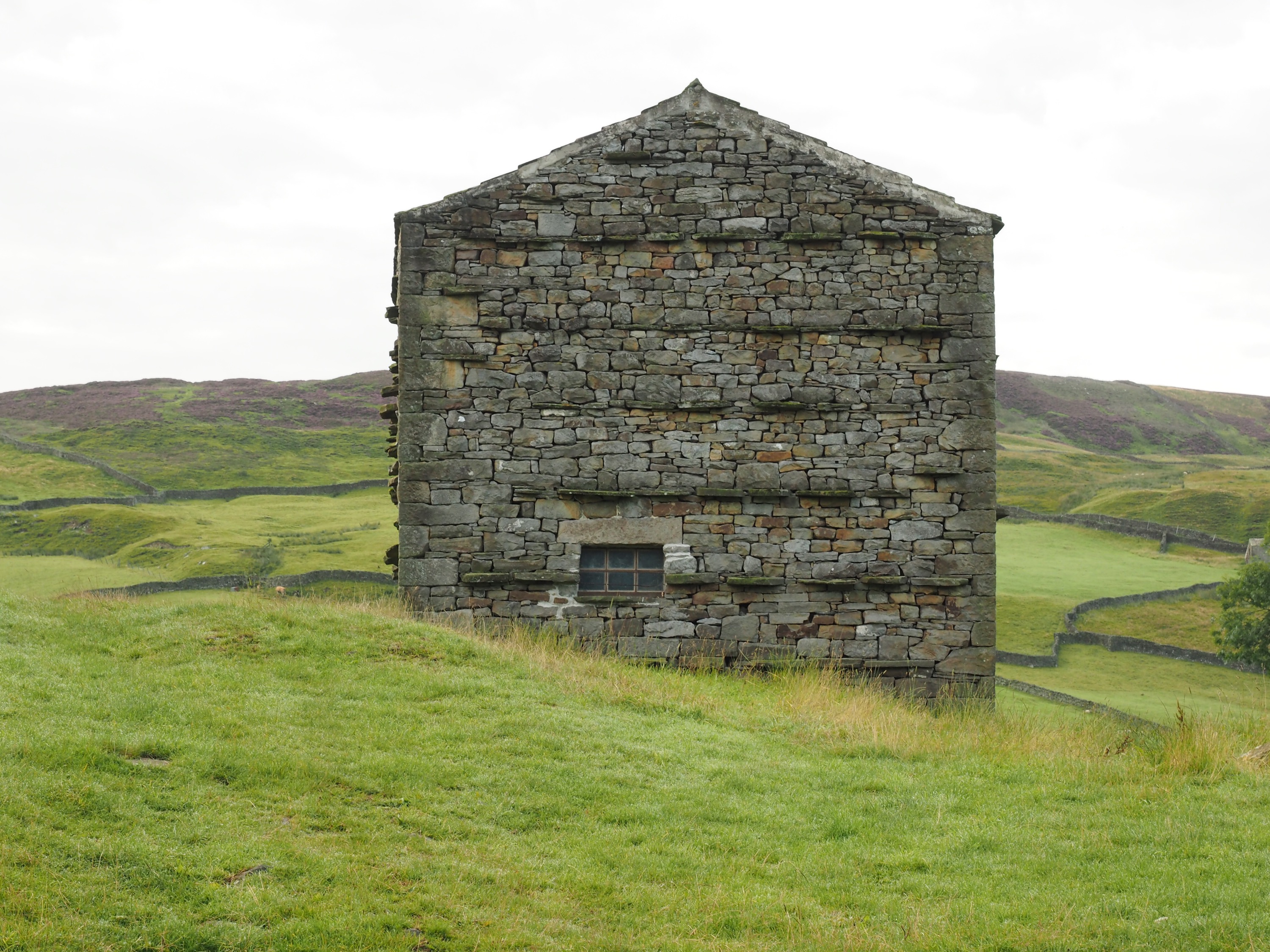
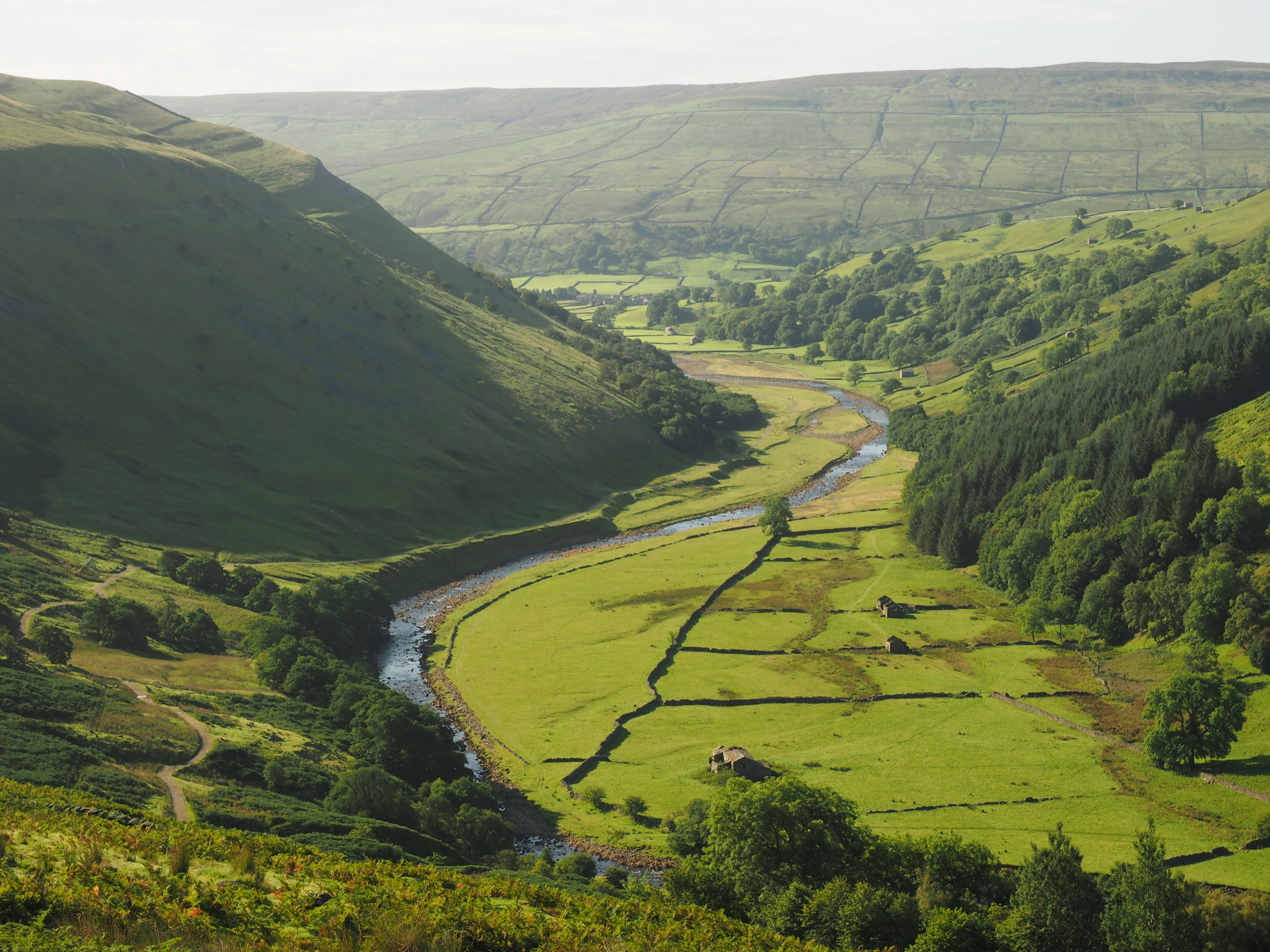
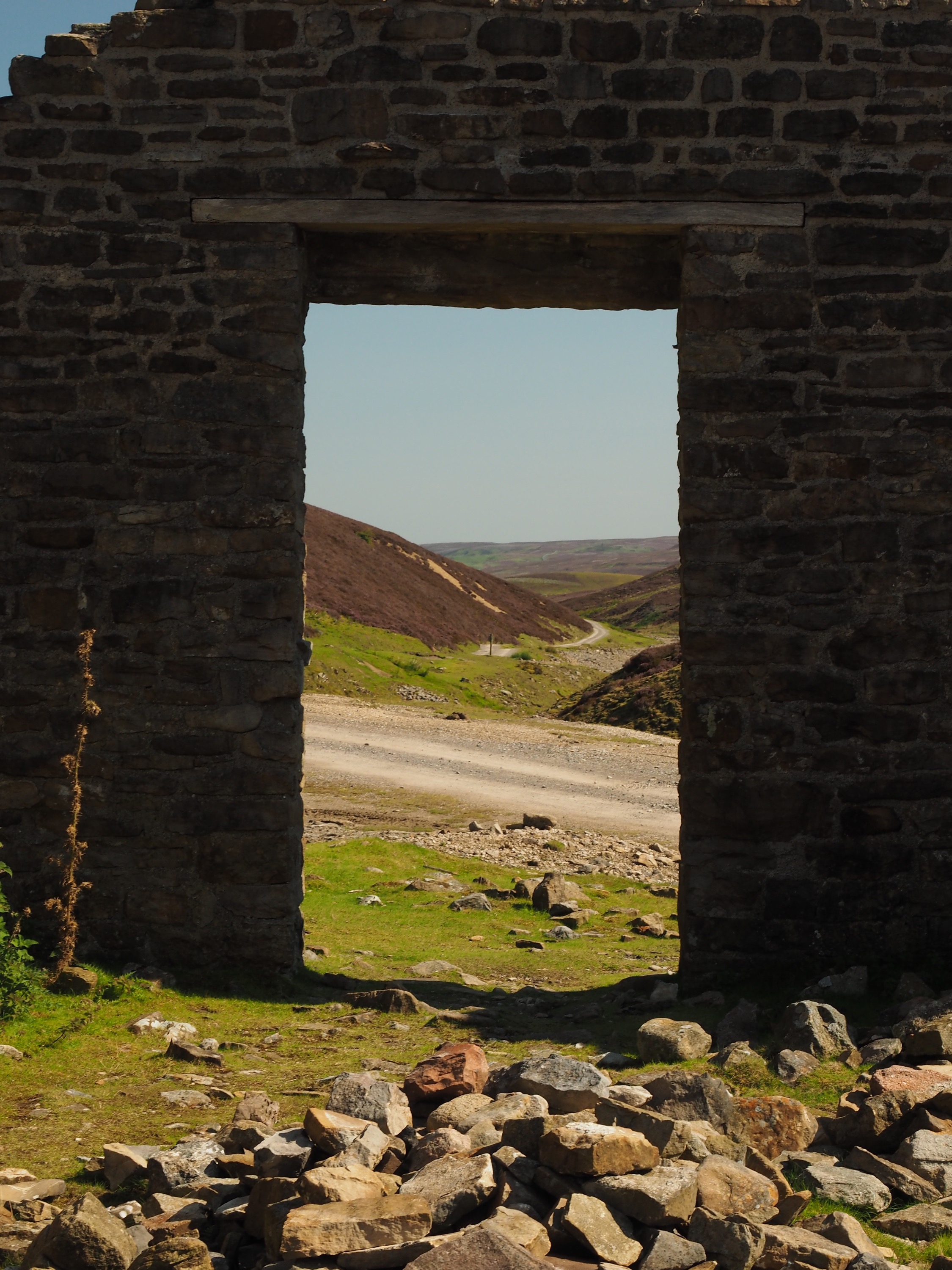
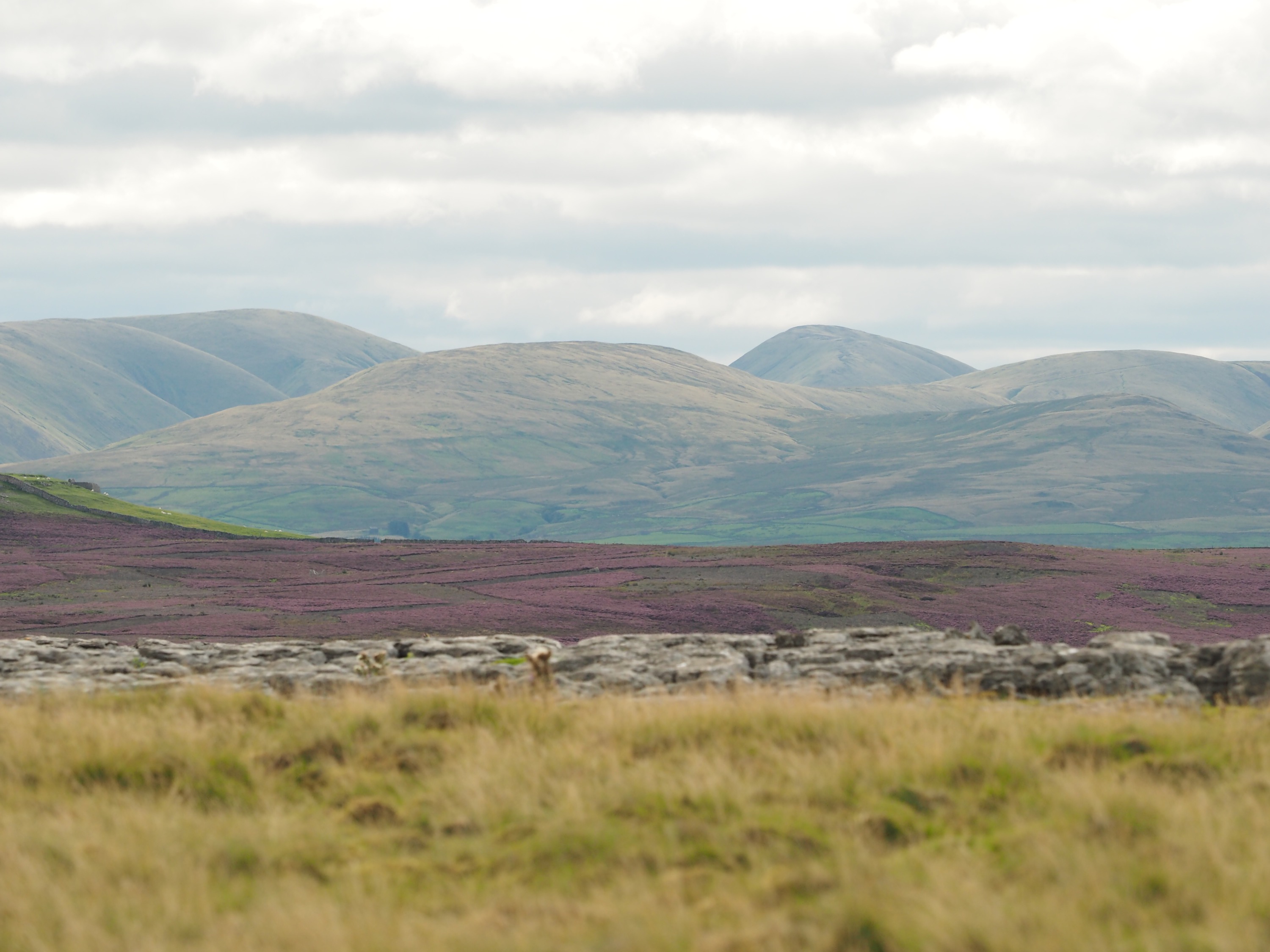
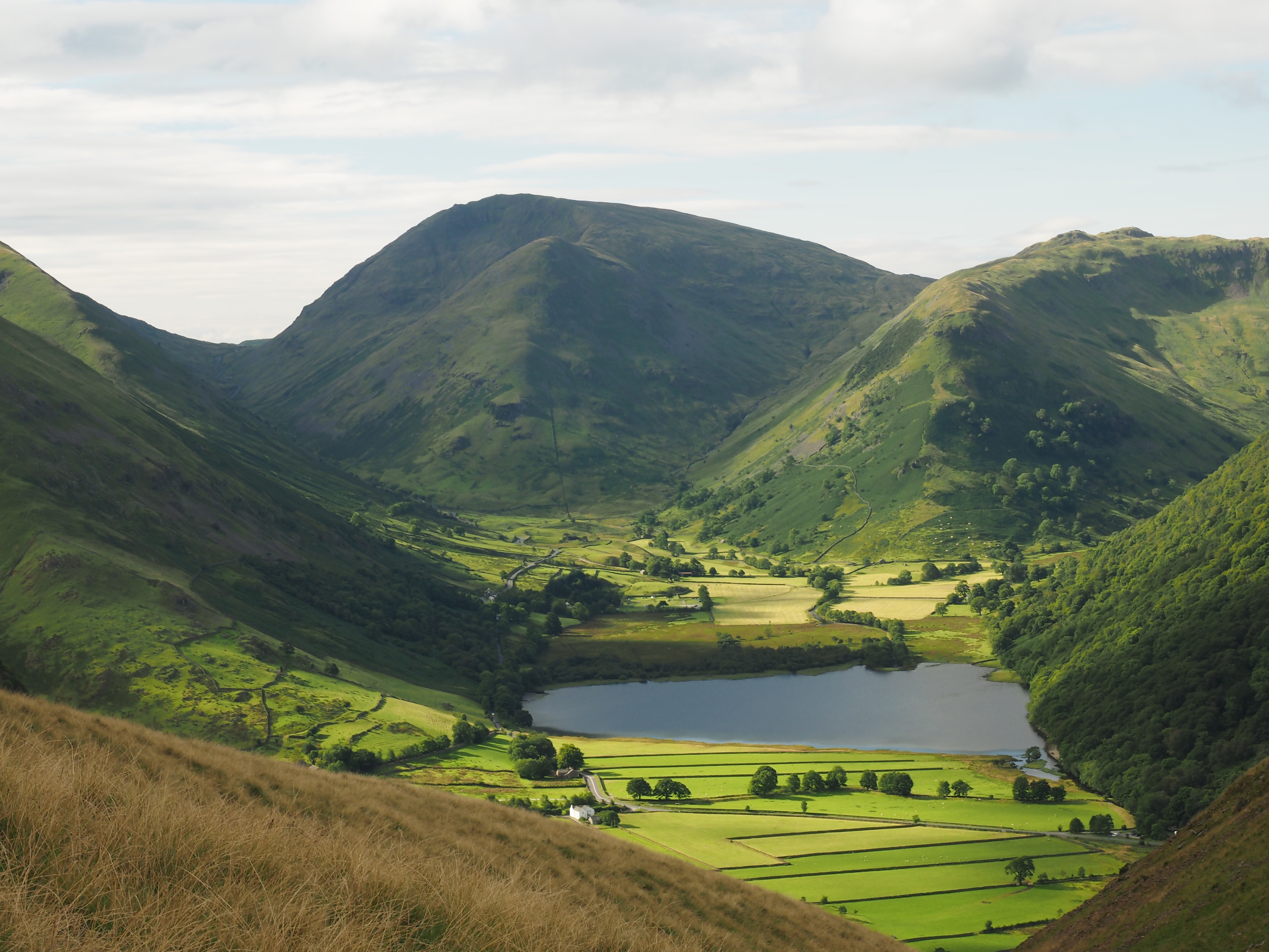
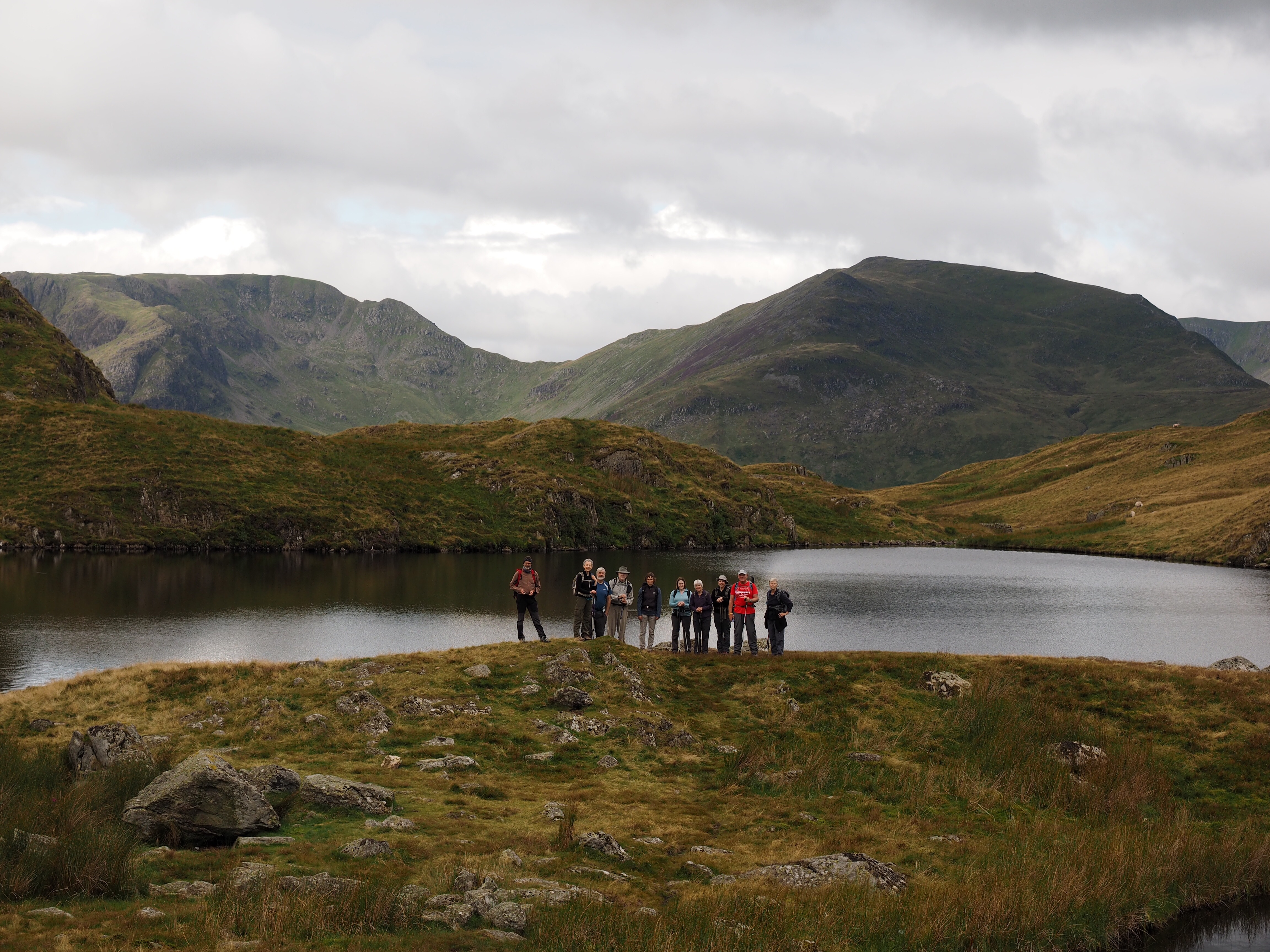
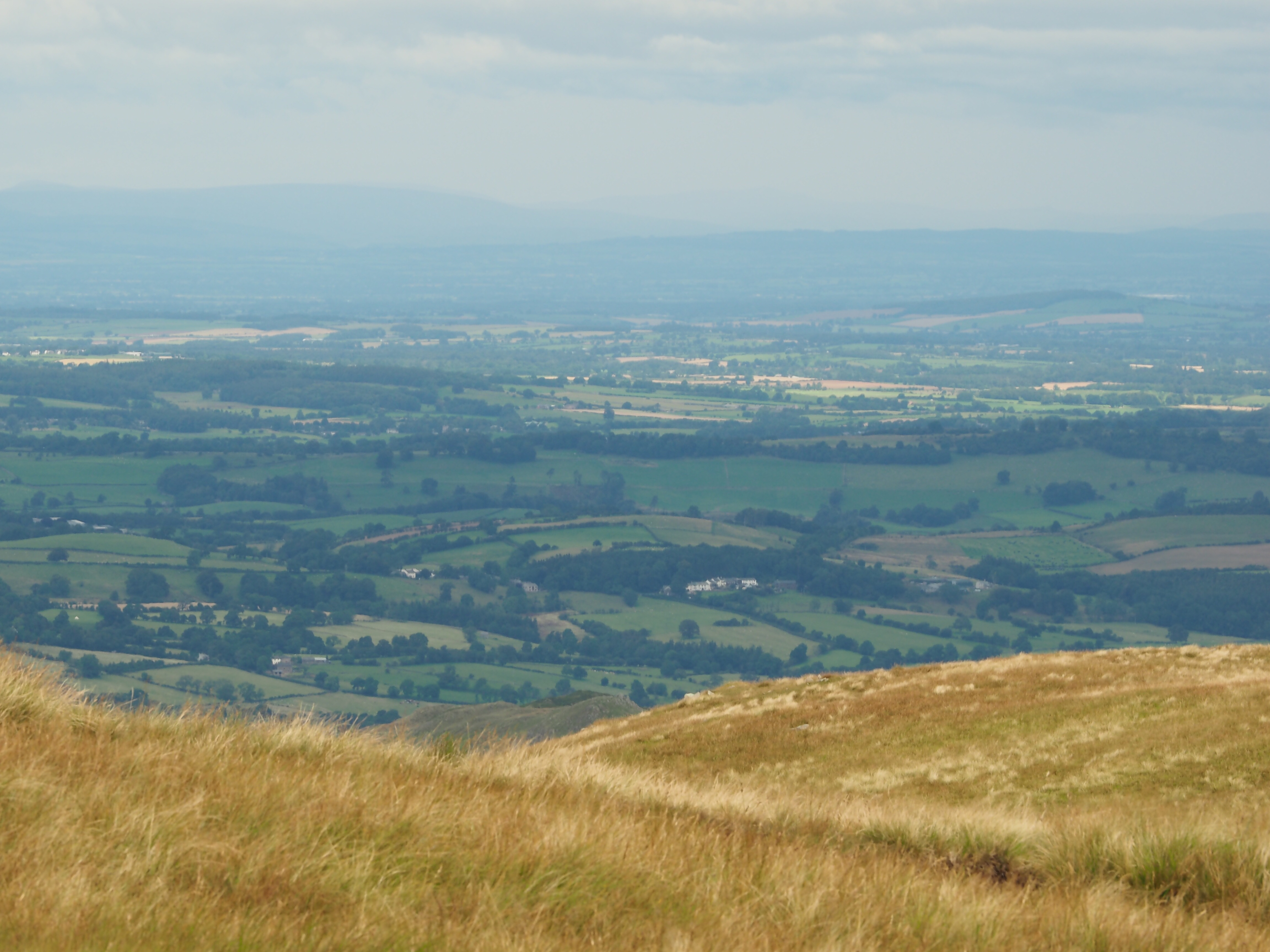
Photos to come😀

Day 10 of the Coast to Coast Walk: Bolton on Swale to Ingleby Cross

17 miles rated as a long moderate walk.

Slightly later start as we waited for the mini bus back to Bolton.  Time to explore historic St Mary’s, with it’s monument to England’s oldest man Henry Jenkins who allegedly died at 169.  Record keeping in the 1700s perhaps wasn’t as accurate as now!

First stop was the village of Danby Wiske – the lowest point of the walk, a small village with a green and a pub.  After a coffee stop, lots of walking across fields and small roads (and more fields…) until the psychological and physical barrier of the A19 – we crossed this major motorway on foot!  Local businesses are petitioning for a footbridge as the estimate is 10,000 people a year do the C2C but for now it’s a dash across four lanes of busy traffic.  Then a shortish walk to our B&B – Bev, the landlady greeted us with a glass of bubbles on arrival😀 and there was roast chicken for dinner, complete with Yorkshire pudding.


Booting up outside Pottergate B&B in Richmond.  
 
One of the many fields we crossed.


The memorial tablet for Henry Jenkins in St Mary’s at Bolton.


Day 9 of the Coast to Coast Walk: Reeth to Bolton on Swale

17 miles and rated as a long moderate day.

Today was the only day we were walking to a time-to make the following day shorter we were walking beyond Richmond and being picked up at Bolton (where there is pretty much nothing except a historic church and some houses), and taken back to Richmond, then busing back the following day.  This meant we had to be in Bolton by 5pm to meet our transport which put more stress in the day.

Set out from Reeth in some light drizzle, and walked down a valley across fields to reach Marrick Priory, now an outdoor education centre.  Encountered along the way what are called in Yorkshire ‘squeeze belly entries’ – very narrow stone stiles.

On through the village of Marske, through more fields and past slumbering sheep, then down into Richmond.  Lost the group trying to find the lunch meeting point, but eventually found the guide (who was showing one of our group to the B&B as she wasn’t walking on).  

After a very quick drink and bite to eat, the route march to Bolton commenced.  Parts were pleasant, but there were a couple of big diversions for major road works out in the open with no shade (who would have thunk the north of England could be this hot) and I got a bad cramp that made walking miserable.  But we made Bolton just as the mini-bus arrived in very good time.

Dinner in Wetherspoons in Richmond – a good value restaurant chain with a bit of a diversion from Quiz Night.

   
John encounters a squeeze belly entry!

 
Sheep!


  View down to the River Swale approaching Richmond.  
Sheep nap time.

 Richmond Castle.

  
St Mary’s at Bolton on Swale.

Day 8 of the Coast to Coast Walk: Keld to Reeth

Keld to Reeth: 11 miles rated as a strenuous day.

We set off from Keld Lodge in a cloud of midges – the first time we’d encountered big clouds of them.  Nice walk through the village (a few houses) and a climb on loose stone paths up past Crackpot Hall, the managers house for an old lead mine above the River Swale.  The whole day was a tour through old lead mining areas, but it’s been so long since there was any mining that the buildings are ruins and much of the landscape has recovered.

It was also the day for our first close encounter with grouse.  We’d been on grouse moor around Shap, but on these trails they got quite close, and their call sounds like they are laughing (at walkers!).

We stopped for lunch in a pleasant narrow valley with mining relics, then climbed a steep rocky trail that was an old mining ‘hush’ where water was used to expose lead ore.  At the top a narrow band that looked as barren as a moonscape was surrounded by heather moor and farmland with grazing sheep.

  Yorkshire stonemasons showing off – note the straight lines of stones across the barn even though it’s built of irregularly shaped stones.
The River Swale from up near Crackpot Hall.

  
Lunch break.

Struggling up the ‘hush’.  
 The path dropped down to Cringley Bottom, then it was on through farmland to Reeth, and an ice cream on the village green with the locals, before finding the B&B, freshening up and dinner at one of the three pubs in town.

Shattered!

A very quick post at the start of Day 12 from the Lion Inn on Blakey Ridge.  We haven’t posted for a couple of days due to dodgy internet connections and being completely shattered last night after 20 miles over 6 moors with the final 5 miles being a march along an old railway track – in the middle of not much.  Pictures and day by day posts to come.

image

But the walk yesterday was lovely in parts – views over the Vale of Miwbray we crossed the previous day, lots of heather in bloom and grouse.

Day 7 of the Coast to Coast Walk: Photos

  1. image

So so we left the Jolly Farmer not as early as planned, but at least it was bright!

image

And slogged our way up to the top of the moor where the 9 Standards are on the Pennine watershed…

image

Where there were great views but it was cold and windy…but there was still time for a group photo.

image image

And then it was down across peaty bogs until eventually there was rolling Yorkshire dales farmland…and a cream tea.

image image image

And eventually after more farms and stone walls, there was a waterfall, camping yurts and Keld Lodge. And Black Sheep Ales all round.

Coast to Coast Day 6: Photos

Heather, sheep, farms and stone walls…

But first we had to cross the M6…   
Before we got to a big area of heather moor managed for shooting grouse…

    
  There were lots of rolling fields, stone farm buildings and stone walls…  
  And, of course there were Swaledale sheep  
And eventually, there was a town, and real ale😀

Day 5: Glenridding to Shap – photos

A selection of views: looking over the valley on the way up to Angle Tarn; view from Boredale Hawse, looking back while climbing up to Boredale Hawse, the group at Angle Tarn, looking down from Kidsty Pike, at the far end of Haweswater, the view along Haweswater, will Shap ever come or are we in walking purgatory!

image image image image image image image image image

Day 5 of the Coast to Coast Walk: Glenridding to Shap

The hardest day of the walk: 17 miles with a height gain of 760 metres.

Bright and early start from Glenridding.  Short walk to Patterdale then crossed the valley and first climb of the day up to Boredale Hause.  Path pretty good and only a little steep in places.  Stopped at Angle Tarn for a quick snack then another climb up to and around The Knott.  Brief stop, then final push up to High Street, the old Roman Road across the hills and on to the high point of the day, Kidsty Pike.

Windy and cold, but great views.  Didn’t linger, but headed steeply down to Haweswater on a horrible, steep, crappy path – for an hour!

The rest of the day was an anti-climax, 8 miles along the shore of  Haweswater to Burnbanks, then across fields to Shap Abbey.  Felt like it was never going to end!  But Shap Abbey isn’t in Shap but three miles away!

Eventually, after a final endless trudge along the long main stree of Shap (close to the ONLY street in Shap) The Kings Arms and real ale courtesy of John appeared!

Photos to come.

Day 4 of the Coast to Coast Walk: Grasmere to Glenridding

Eight mile walk with a height gain of 505 metres.

Not such a long walk so a later start of 10:45am.  We took the opportunity to have a look around the village before the tourist buses started arriving.  Visited St Oswald’s where Wordsworth is buried, which also has lovely stained glass.  Then a quick walk around the village and it was time to split up for the day.

We walked out of Grasmere and up Tongue Gill, which was a pleasant path, up to Griesdale Tarn.  We started in bright sunshine but up by the tarn showers set in and on went the wet weather gear for the first time on the trip.  

Lunch was near the Brothers Parting Stone, where  Wordsworth said goodbye to his brother for the last time.  As we walked downhill alongside Griesdale Beck to Patterdale there was sunshine and showers but the path was relatively easy.  Glenridding was only a little further along the shore of Ullswater.

Below are: the view back down to Grasmere from near the bottom of Tongue Gill, looking back at Helm Crag, the view down the Patterdale Valley, lunch break complete with waterproofs, the path towards the bottom of the Patterdale Valley, the wood at the bottom of the valley.